Space4Wind
Surface roughness from earth observations to improve the site assessment for wind turbines
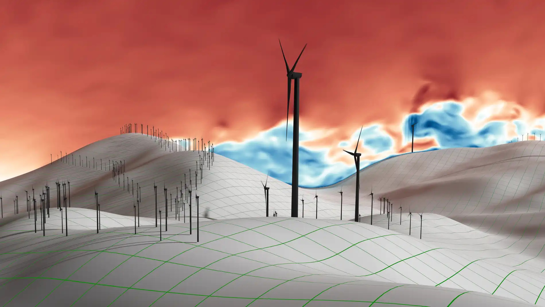
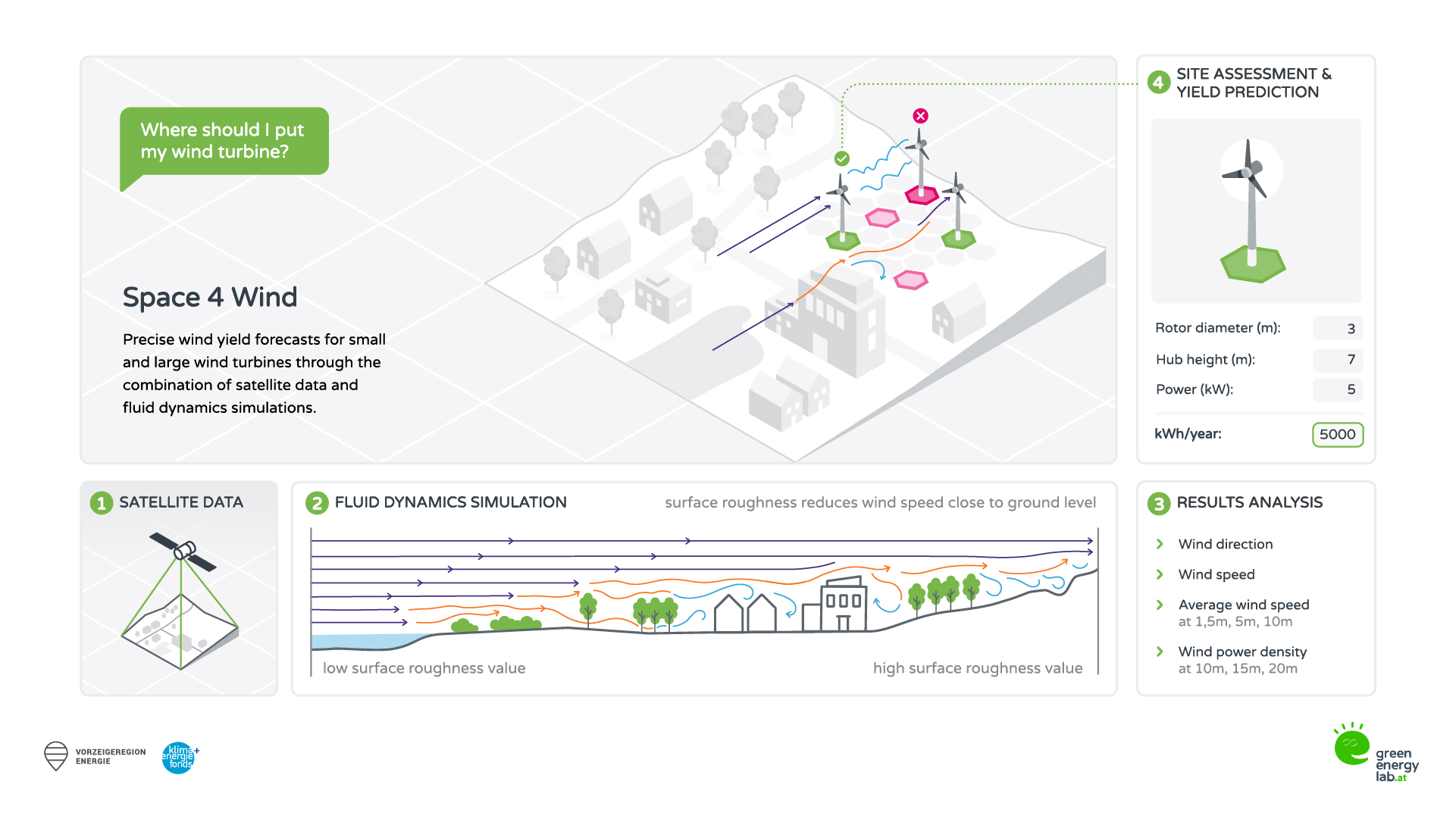
As part of the two-year Space4Wind research project, a fully automated method was developed for the precise prediction of wind speeds in complex terrain. The model’s accuracy is comparable to that of wind measurement towers, both for small wind turbines and for large wind turbines. Space4Wind not only offers accuracy comparable to long-term measurements but also provides data in three-dimensional space, at all relevant heights, and within a radius of 1 km.
Space4Wind’s results are currently available within 5 to 15 business days – a fraction of the time required for wind measurement campaigns, at significantly lower costs. All of this has been achieved through the use of a complex data pipeline that integrates satellite data, global circulation models, customized and automated 3D geometry generation, and CFD (Computational Fluid Dynamics) simulations.
Results
It became apparent that mapping surface roughness alone does not accurately model near-surface wind speeds in complex terrain or near vegetation zones. Forests were therefore modeled in three dimensions in the CFD model to achieve consistent results both near the ground and at hub heights typical of large wind turbines. Transient, vortex-resolved CFD models deliver optimal results in complex terrain and have also become cost-effective given the wind industry’s high quality requirements. For complex sites in mountainous regions, there are no sufficiently accurate surrogate models, such as RANS or linearized Navier-Stokes models. The CFD models and methods used in Space4Wind deliver precise results when based on physically accurate input conditions.
Dynamic downscaling of global circulation model data made it possible to generate realistic wind speeds and a sector-by-sector frequency weighting to correct the simulation results in complex terrain. Two high-resolution validation runs for the test sites at Handalm and Lichtenegg yielded results within an acceptable margin of error for applications in wind power, site evaluation, and investment risk management.
Links:
You are currently seeing a placeholder content of YouTube. To access the actual content, click on the button below. Please note that data will be passed on to third-party providers.